3D Web GIS on steroid
CartoSolution has more than a decade of experience on working with 3d GIS data on custom or commercial platform. We have co-developed wide range of 3D Building and city Models, delivering for a variety of clients and deliverable in a number of formats.
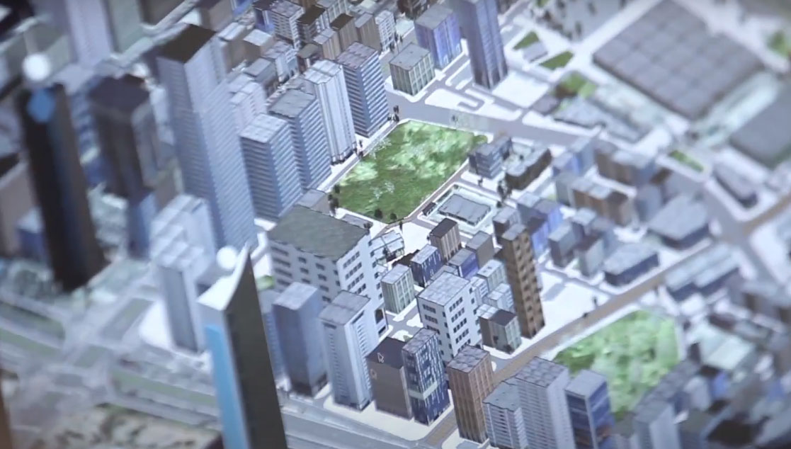
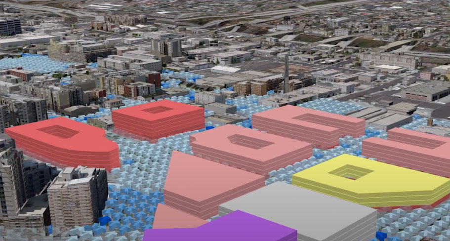
City Planning
The fast-growing developments and in urban planning encounters collusion between services and demand rapid solutions. Due high quality of digital information system of 3D-database end user emphasizes modeling the urban surrounding in 2D and 3D dimensions. The new VR technology is empowering workers to save time and visualize in augmented reality and prevent any damages to other services in utility sector.
We have developed many projects for augmented reality for utility companies. Our decade old experience empowers us to provide right solution to customer’s.
Building Information Modeling
Building Information Modeling (BIM) is getting more and more integrated solution that replicate much more enhance detail inside out of a building. The integration of BIM and GIS gives an edge to build more detail and photorealistic model. The combination of VR, GIS and BIM provide more accurate and precise decision.
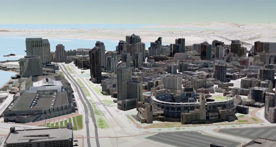
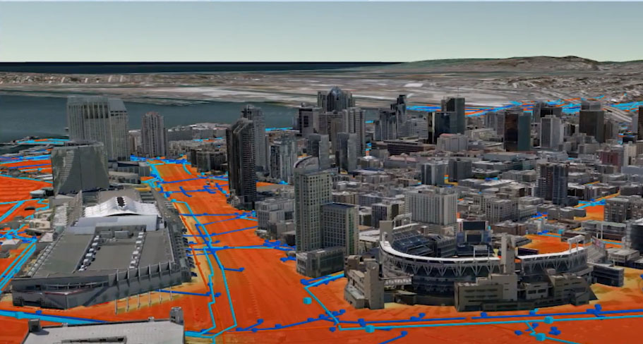
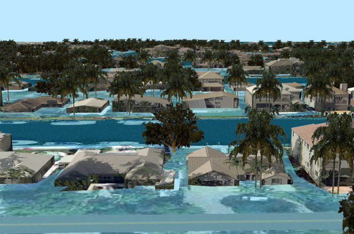
Coastal Modeling and Analysis
Updated 3D GIS model allows end user to assess the potential flood impact on any small of large regen. Accurate 3D City model help to make quick decision route planning, evacuation and many more. Rising Sea level and unpredictable climate, storm surge models, and other flood risk database are superimposing with 3d city dataset, separate dataset for 3d bridges and roads, and other dataset to assess different range of damage and destruction asset. Visualizing these outcomes in 3D, makes a sense of realism that never be achieve in 2d database.
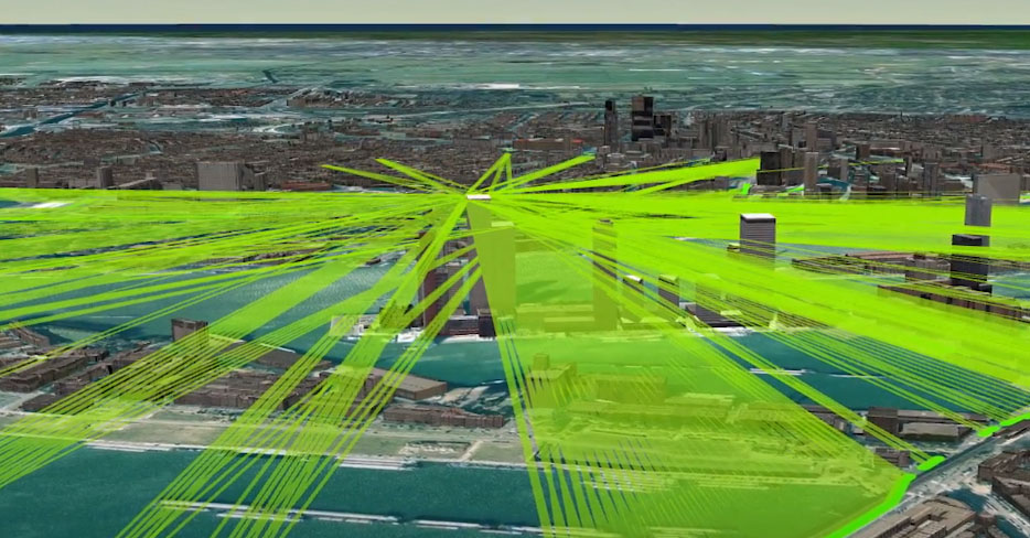
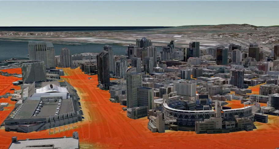
Disaster Response and Emergency Management
3D GIS can help to understand the surrounding and provide data to authorities to effectively response to natural and manmade disasters. Detailed mapping and visualization deploy resources effectively and accurately to the most needy areas and make them aware of the terrain they would be dealing with. This also include giving information like:
WE ARE HERE TO HELP YOU
For more information or work order for 3D Visualization services, call CartoSolution Client support at (+91 931 528 1315), or contact us by e-mail at hello@cartosolution.com
Building Information
Campus Management
City Planning
Regional Analysis
Global Views
Cross-platform Capability
Crisis Response